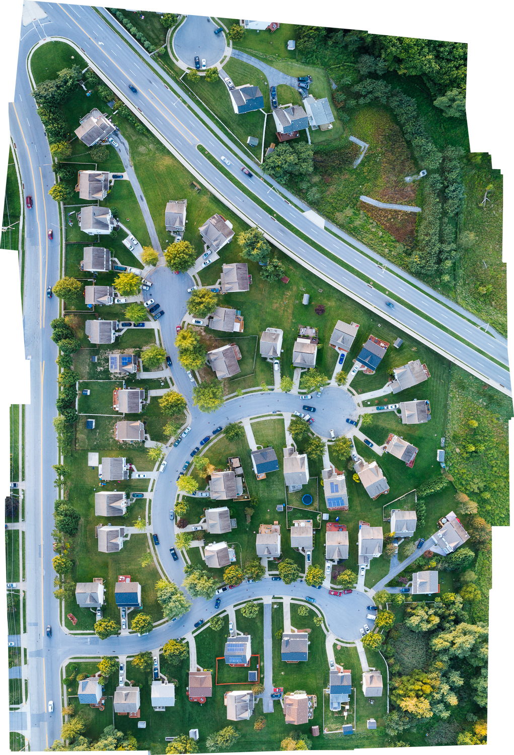


Mapping and Asset Management
(Drone) Aerial photography is a perfect way to keep track of larger assets over a period of time within a defined area. We can also create a detailed aerial map of a location of your choosing.
This service is perfect in for the following scenarios.
- Tracking progress on a construction site
- Checking for activity on a oil well
- Resource Management
- Monitoring Solar Panels
- Monitoring Rail lines
Mapping and Asset Management Samples
Take a look a few of the samples of Aerial Real Estate Photography to see for yourself how we can increase the marketability of your property.